Create Your First Project
Start adding your projects to your portfolio. Click on "Manage Projects" to get started
Commercial Aerial Views
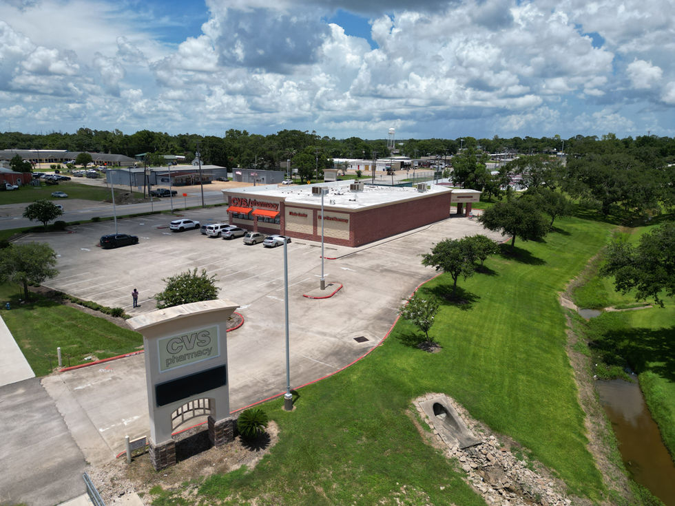
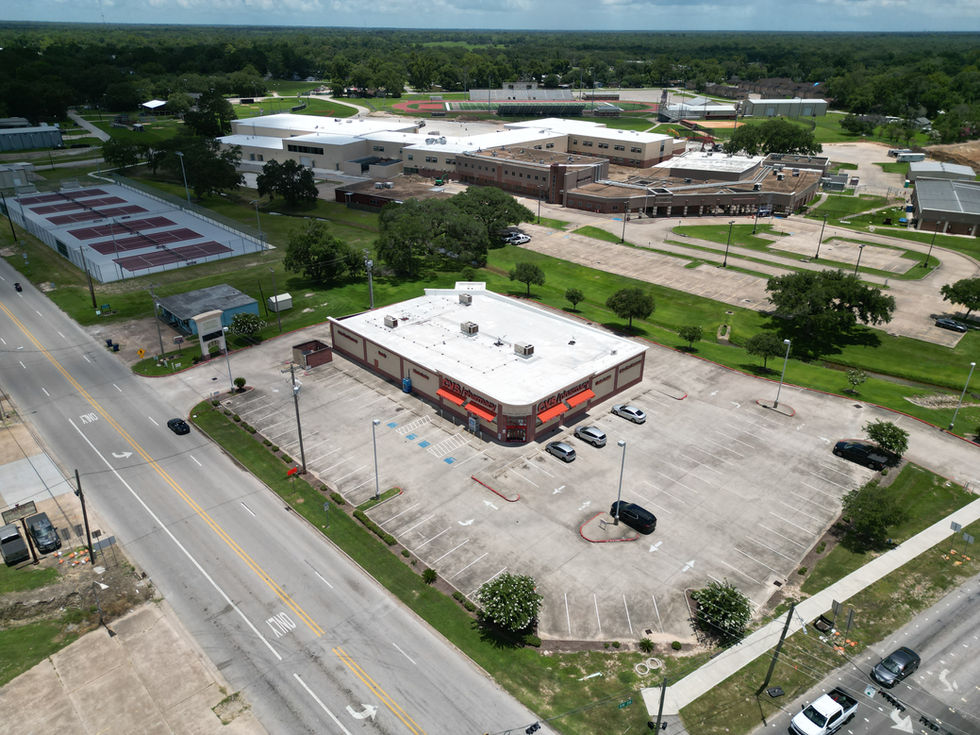
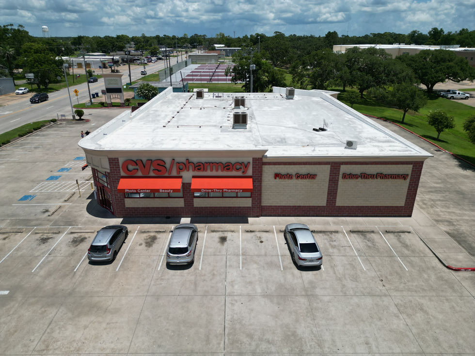
This portfolio highlights aerial imagery and mapping deliverables created specifically for commercial real estate and development clients across the Greater Houston area.
Our visuals are designed to enhance marketing, investor presentations, site evaluation, and planning by offering:
High-resolution aerial photographs showcasing lot boundaries, surrounding infrastructure, and property features from multiple elevations.
Cardinal direction views (North, South, East, West) to assist with solar exposure analysis, visibility, and surrounding development context.
Smooth, stabilized aerial video flyovers to give clients and stakeholders a cinematic view of property scale and access points.
2D orthomosaic maps stitched from high-resolution georeferenced images—ideal for layout planning or documentation.
3D site models useful for pre-construction visualization and comparative tracking over time.
All content is captured with precision and processed in-house using industry-standard photogrammetry tools to ensure quality and accuracy.
Whether you're looking to promote a listing, monitor site evolution, or document development milestones, Aeroflit Drone Media provides customized deliverables to meet your project's goals.


